Parker Integrated Graphics Services

You'll save when PIGS flies!

Pick PIGS for all your drone mapping, video production, and aerial photography needs.
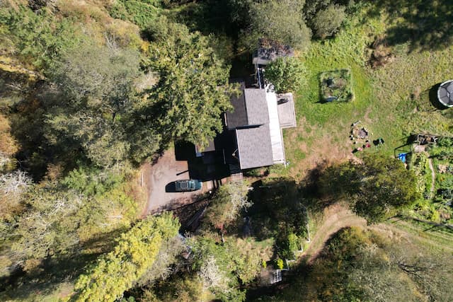
A nadir view of a house in the woods surrounded by lawn and garden, showing the different levels of light that reach each part of the roof.
Solar Evaluation
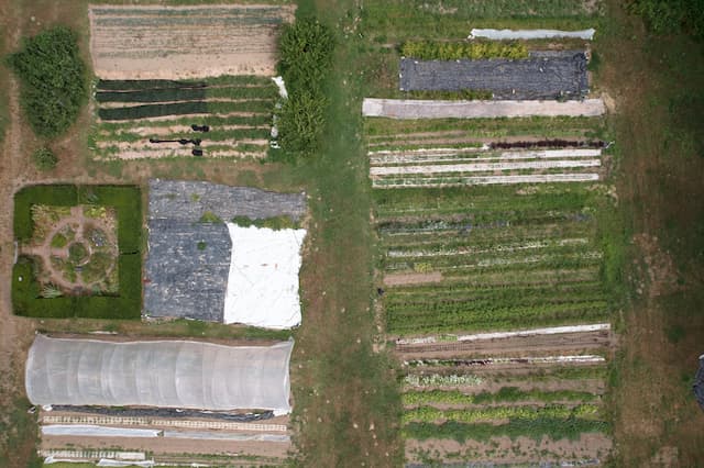
A nadir view of rows of crops at The Evergreen State College Organic Farm and herb garden.
Agricultural Insights
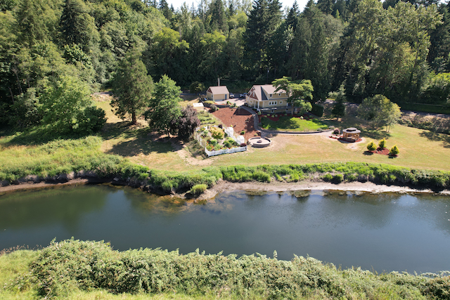
Aerial view hovering above the Cowlitz River dike, looking across the river at a large house and its garden by the riverbank.
Real Estate
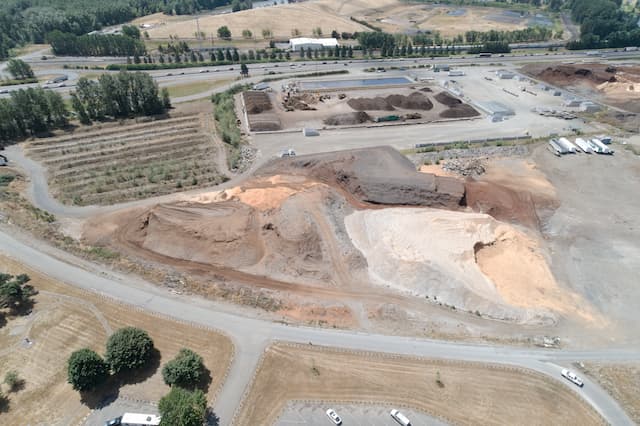
An aerial view of Lakeside Industries' stockyard for mulch and soil products showing piles of stock.
Construction & Inventory Inspection
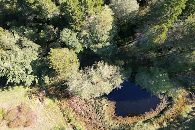
A nadir view of a pond in a clearing in the woods.
Conservation & Mapping